|

The start of our first full day
here in Crater Lake National Park led us to take the East Rim Drive first
(our campsite was about 7 miles south from the crater itself). This
meant that we wouldn't see the actual lake until after we visited two spots,
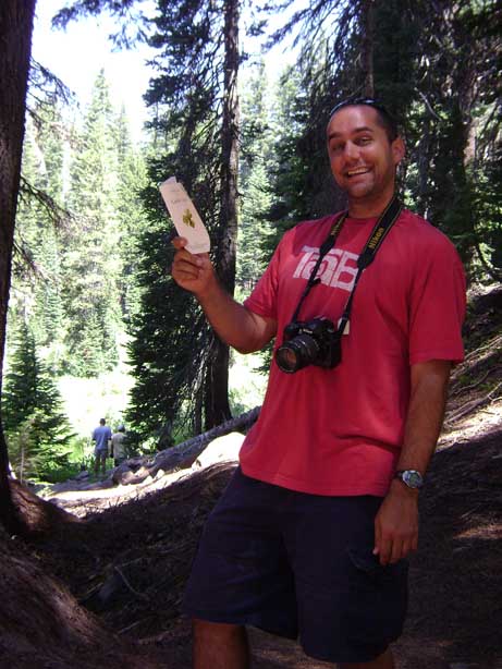
the first of which was the Castle Crest Wild Flower Garden.
Crater Lake, OR (7/29) |

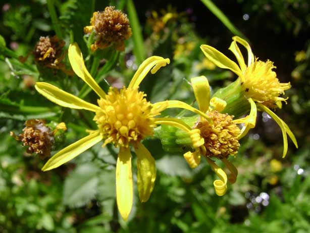
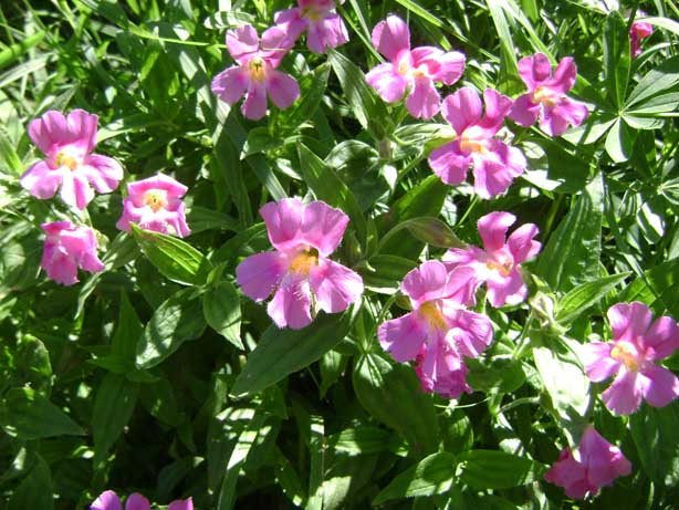
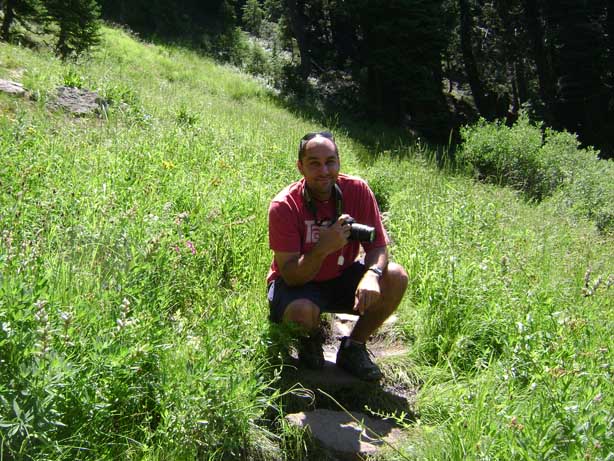
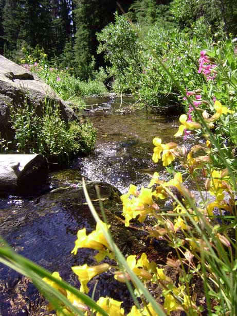
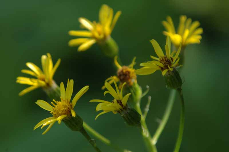
This short trail led us through
beautiful wild flower gardens (hence, the name) with small flowing streams.
A guide was available for us to read and learn from. |
|
 |
 |
|
 |
 |
|
 |
 |
|
 |
 |
|
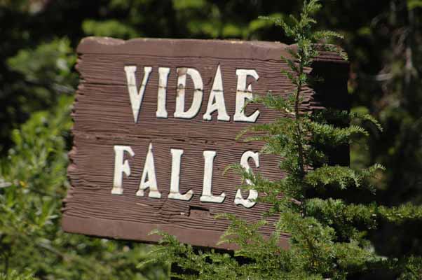
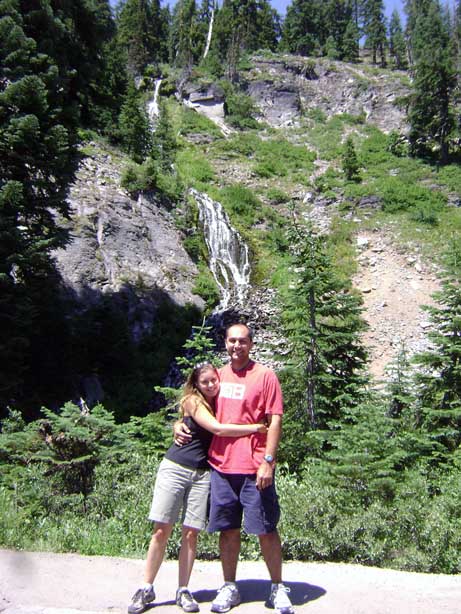
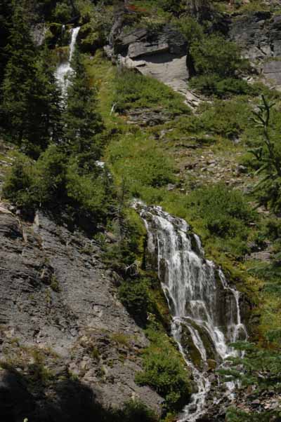
Our second stop along the East
Rim Drive led us to Vidae Falls, a small but tall waterfall along the road. |
 |
|
 |
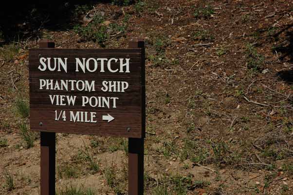
Our third stop at Sun Notch was
to be our first sighting of the actual Crater Lake... |
|

...and this was it - the view we
saw first at the top of the Sun Notch trail.
|
|
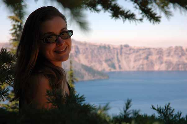
Quite beautiful, no?
|
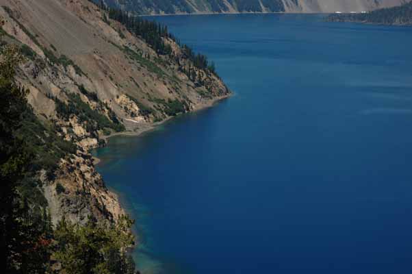
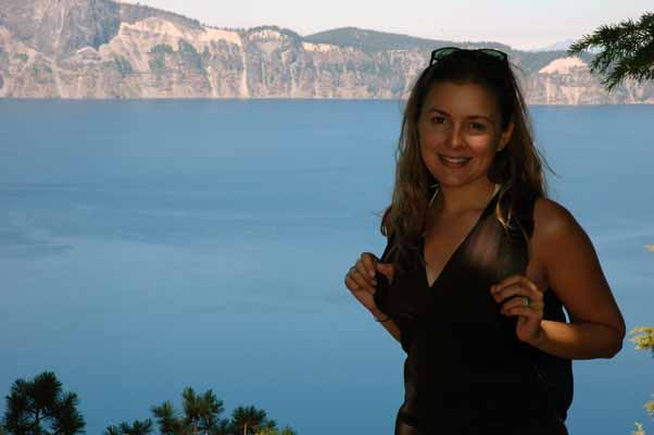
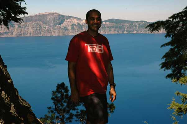
Crater Lake is the deepest lake
in the United States, nearly 2,000 feet deep. Fed by rain and snow
(but no rivers or streams), the lake is considered to be the cleanest body
of water in the world. |
|
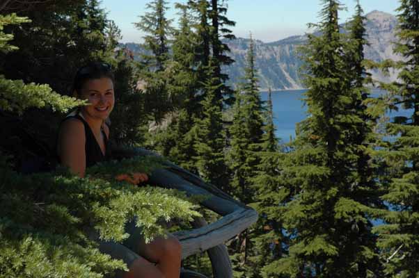
Enjoying a nice snack with a
birds-eye view of the lake |

The average lake temperature is
59F degrees in August and 37F degrees in February. The last time the
lake froze over was in 1949. |
|
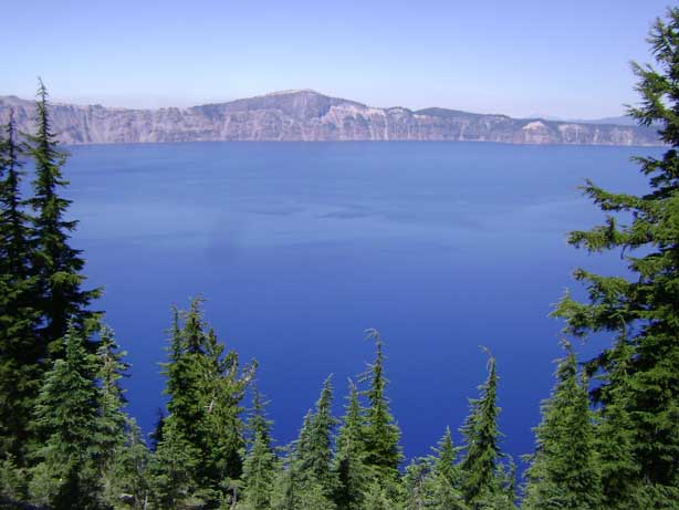
The lake rests inside a caldera
formed approximately 7,700 years ago when a 12,000-foot-tall volcano (Mount
Mazama) collapsed following a major eruption. |
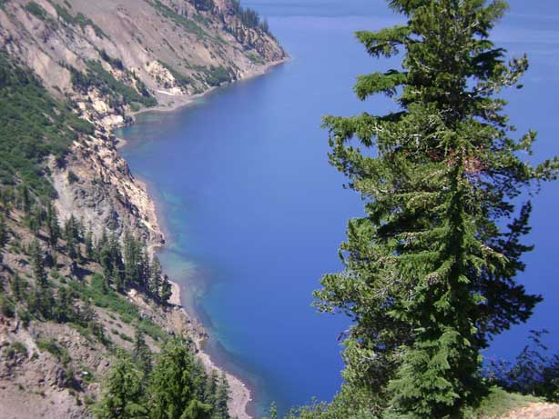
The eruption may have been the
largest in North America in the past 640,000 years. Later eruptions
formed wizard island, a cinder cone near the southwest shore. |
|

The Phantom Ship, the smaller
"island" peaking through the surface of the lake's waters. It's
actually part of a 400,000 year old volcano that was part of the larger one
that erupted, the one that created this crater. |
 |
|
 |
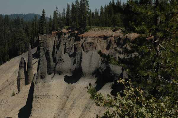
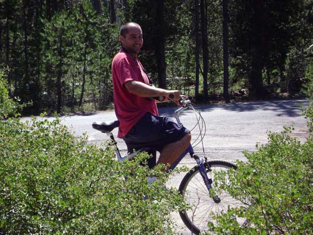
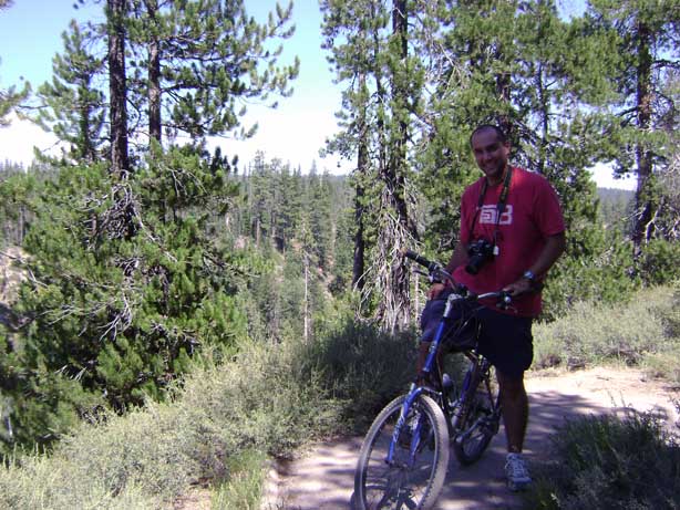
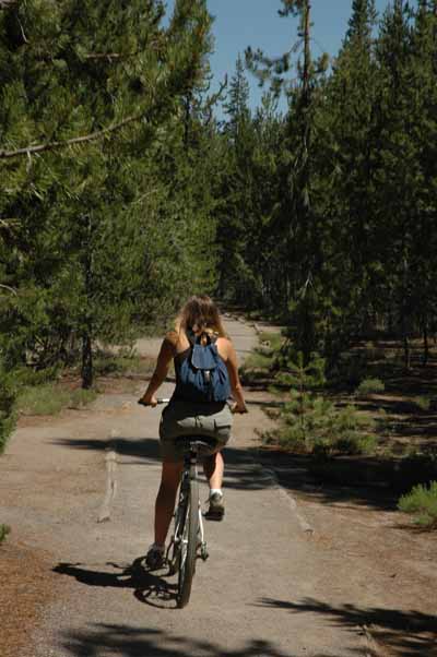
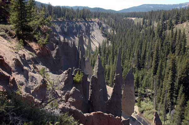
Our next stop led us to a short
bike trail about 7 miles southeast of the crater to Pinnacles Overlook,
which has a collection of100-foot-tall spires that are being eroded from the
canyon wall. |
|
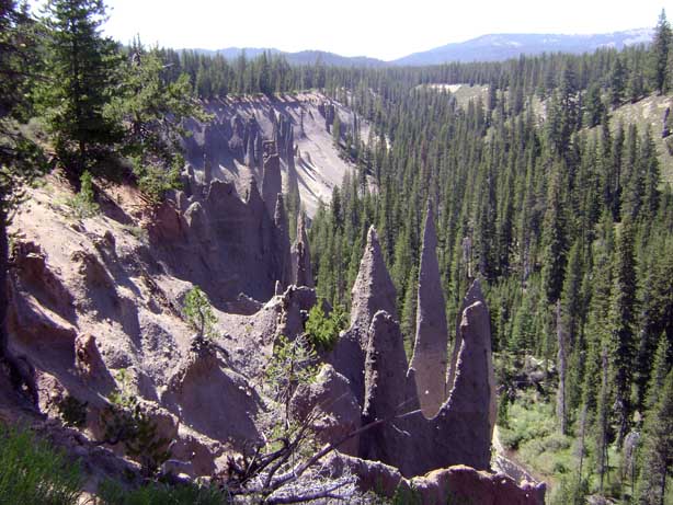
The spires are "fossil
fumaroles," each marking a site where volcanic gases rose through hot ash
deposits, cementing the ash into more solid rock. |
 |
|
 |
 |
|
 |
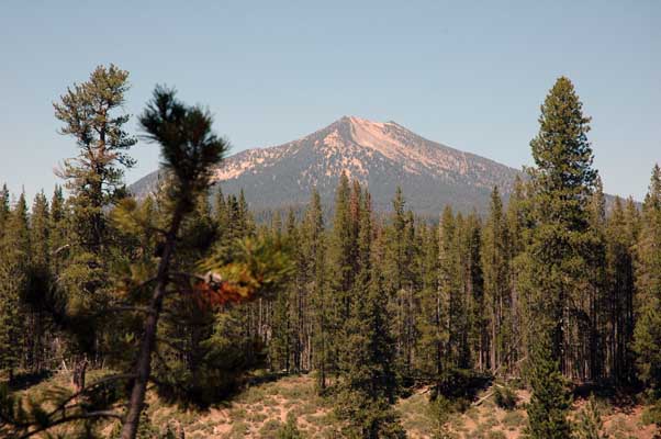
Not sure which mountain this is,
but it was along our bike path |
|
 |
 |
|

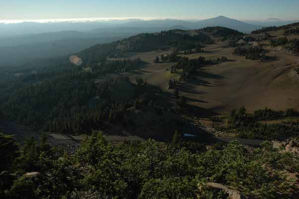
As we approached evening, we came
back around the crater, heading west towards Watchman Overlook, the place
where you can get a good look of Wizard Island (in pictures to come).
We hiked up Watchman Peak to catch the sunset and the moonrise (which
happened to be a full moon). This shot is facing away from the crater
as we hiked up the near-mile hike to the top (420 feet elevation gain). |
|

This guy was jogging up the
mountain - in flip-flops!!! |
 |
|
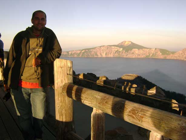 |

A good shot of Wizard Island,
though mostly under a shadow's cast. This is a cinder-cone volcano
named for its resemblance to a sorcerer's pointed hat. |
|
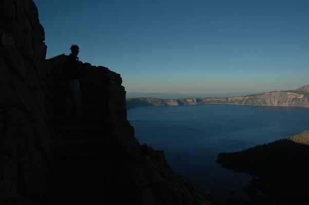
Wizard Island erupted out of the
lake around 7,300 years ago and features a 90-foot deep crater in its rocky
summit. |
 |
|
 |
|
 |
 |
|

|
|
 |
|
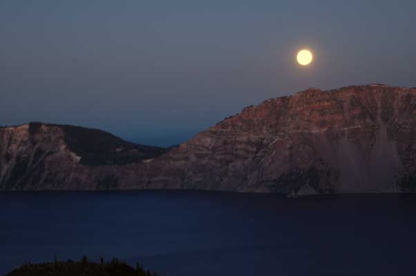
The full-moonrise over the crater |
 |