|
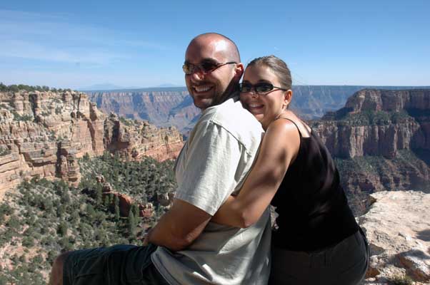
Grabbing onto some love at "The Wedding Spot" on our way to the Cape Royal
area |
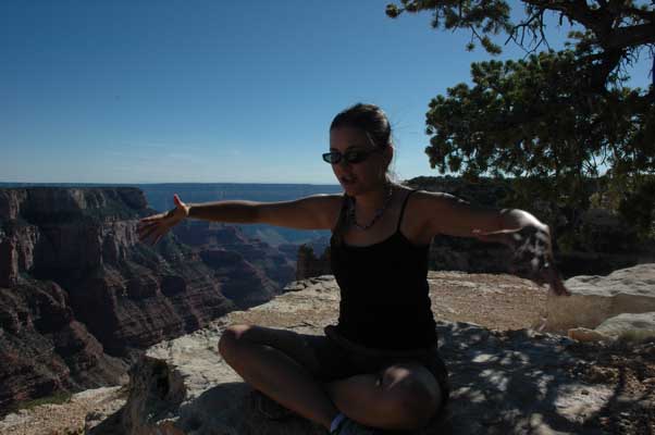
Elena being interviewed on video by Jonathan. Explaining my theory
about the 4 foot bubble...I'll explain in the next journal entry (stay
tuned) |
|

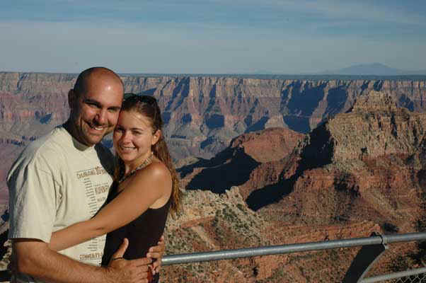
Looking out at the view from Cape Royal- from here we could see the Colorado
river that splits and continues to carve the canyon. |
|
|
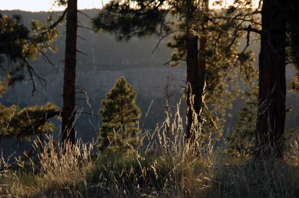
Sunset picnic in the grass |
|
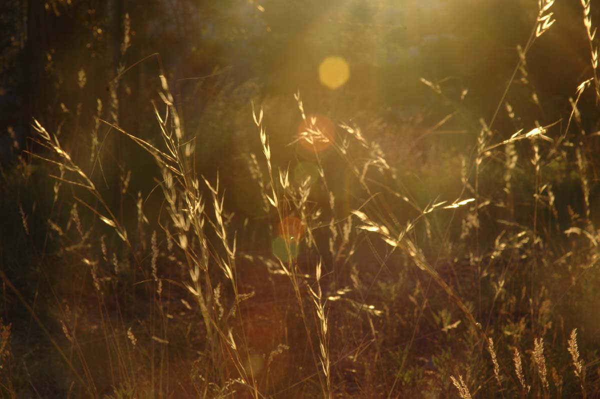
Elena thinks
Jonathan used technique advice from Nancy (photography instructor) to
backlight these wisps of golden grass; actually, it was more luck and timing
that contributed this picture |
|

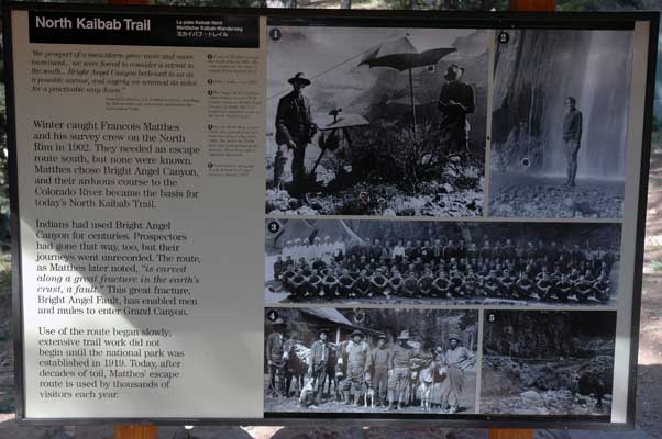
Getting ready to hike down the Kaibab Trail, below the north rim of the
Grand Canyon (7/3) |

Hot and dusty, but still smiling! |
|
 |

Elena attempts to capture the canyon in pencil |
|

Resting at Coconino Overlook - .07 miles below the canyon rim |

Jonathan soaks it in from a different angle |
|

Fire damage heading north on route 89 |
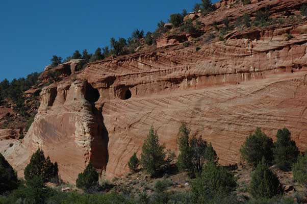
On the way to Utah (7/3) |
|

Jonathan builds a completely organic fire from scratch- no fire starters
here - yeah baby!!! |

Our campsite is flanked by two areas where horses graze. The campsite owners
own them, offering trail rides for their guests. |
|
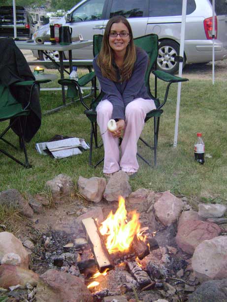
Roasting marshmallows in preparation for you-know-what... |

Enjoying the s'mores of her labor |
|

There's only so much fun a person can have while waiting for someone else to
finish getting her hair trimmed at the Wal-Mart salon. Cedar City, UT (7/5) |
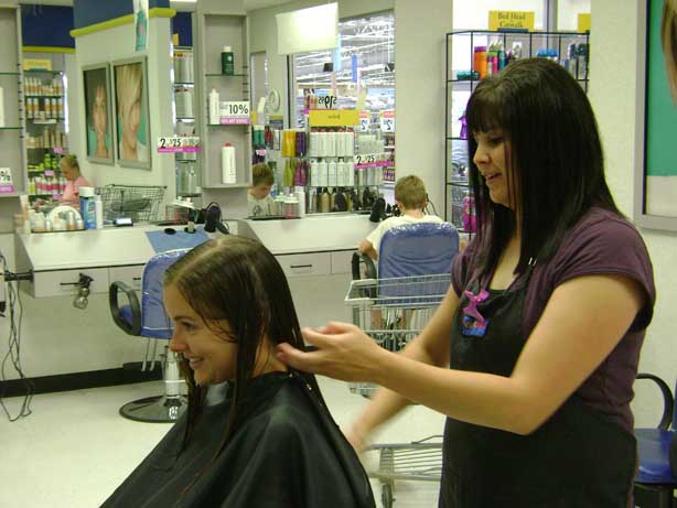
Said trim at said salon |
|
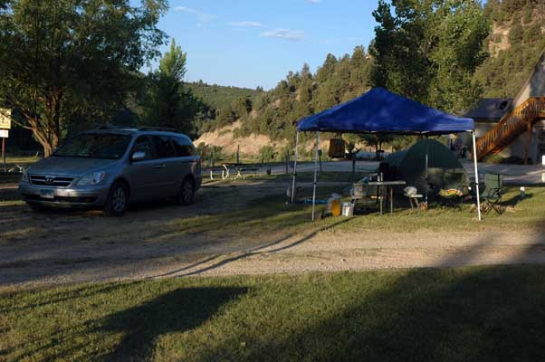
Since we're here at the KOA in Glendale, UT for an extended time - about a
week - we decided to get our money's worth out of our Wal-Mart-bought
canopy (which we bought several months ago), which now comes in very handy, giving us much-needed shade in the 100+ degree
weather! |
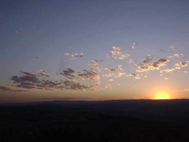
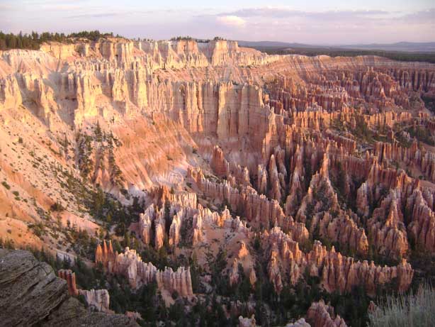
Sunrise at Bryce Point in Bryce
Canyon National Park, Utah (7/6)
|
|
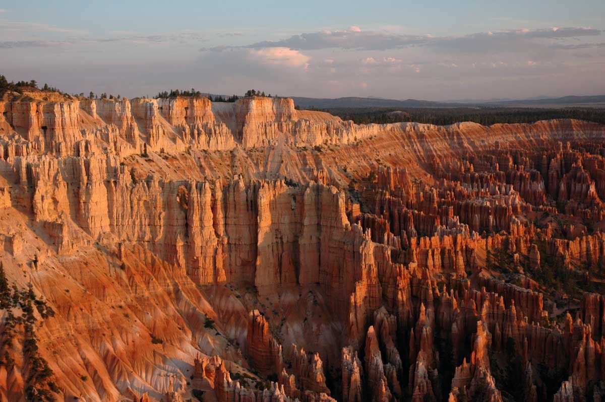
The Amphitheater at Bryce Point catches the light from the sunrise |
|

Still in our "jammies," we made it in time for the sunrise |
 |
|
 |
 |
|
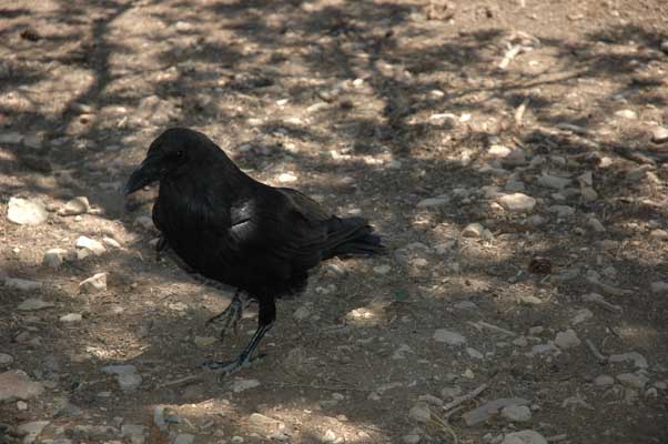
Our visitor at lunch at a picnic area |

The view from Rainbow Point (elevation 9,115, the highest point in the
park), the end of the scenic drive about 18 miles from the park's entrance. |
|
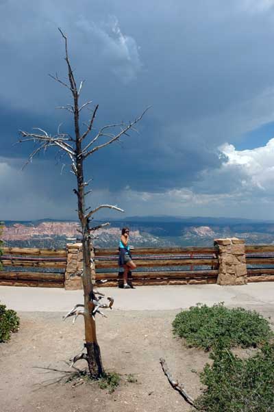
In the early afternoon, the storm clouds were comin' on strong |

Admiring the view before the rain began |
|
 |
 |
|
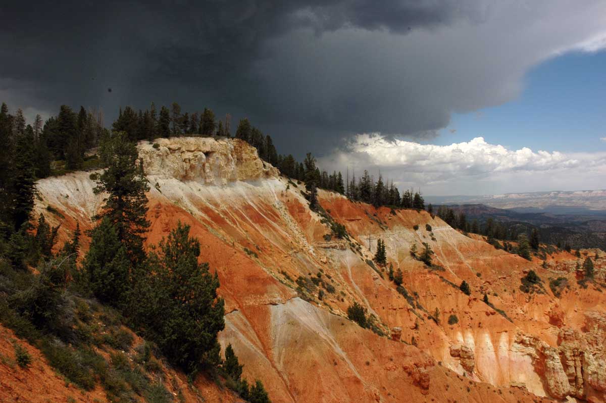
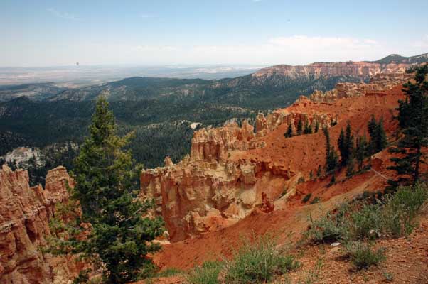
The view from Ponderosa Point (elevation 8,904 feet). Colorful
minerals such as iron (yellow and red) and manganese (pink and violet) mixed
with dissolved calcium carbonate to create this unusually colorful
limestone. Over time, as water disappeared, it left behind the
multicolored Claron Formation from which Bryce Canyon's unusual scenery is
carved. (taken from the park's brochure, not our own vault of miscellaneous
facts in our heads)
|
|
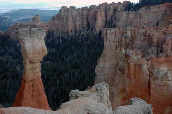
Thor's Hammer |
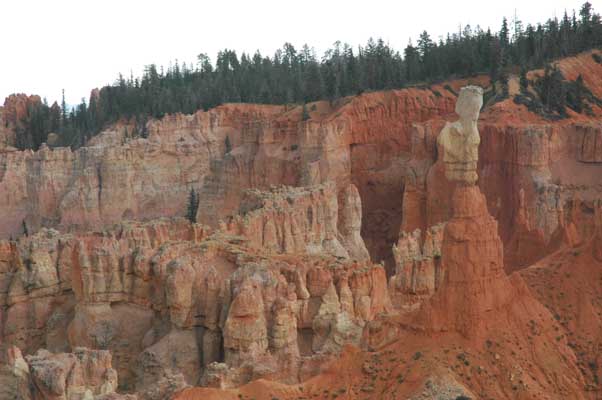
The view from Agua Canyon (elevation 8,800 feet). Some of Bryce
Canyon's many "hoodoos," pillars of rock, usually of fantastic shape, left
by erosion |
|
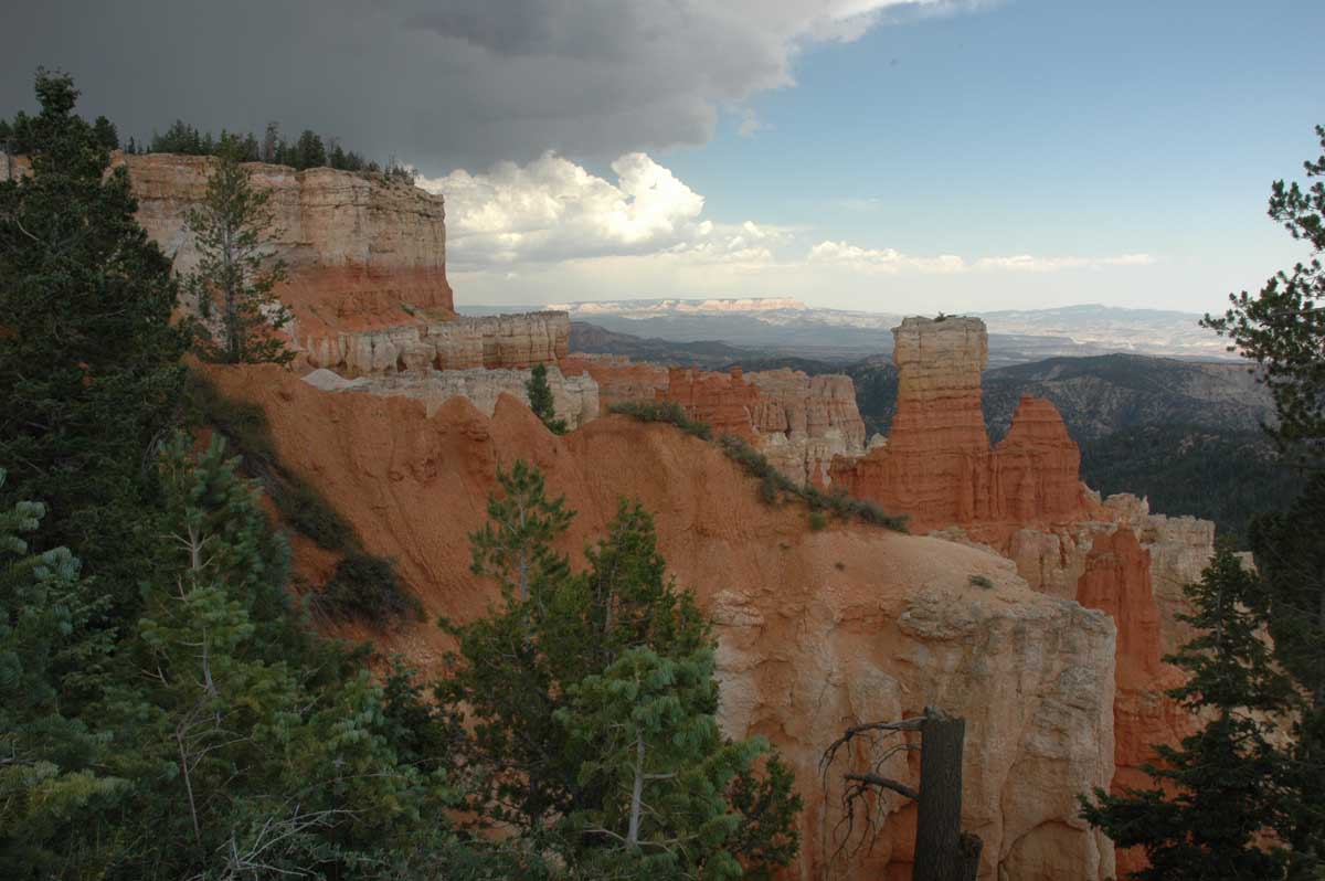
The other view from Agua Canyon |
|
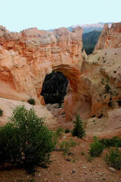
The "Natural Bridge," (elevation
8,627 feet) was actually not formed by a stream, as true natural bridges are
formed. More accurately an arch, the "Natural Bridge" was carved by
both rain and frost erosion acting from the top of the rock. |
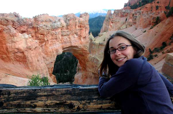
The Natural Bridge appears solid,
enduring. Though weather is constantly chipping away at the opening,
the stone arch may last hundreds or thousands of years. In this case,
appearance gives no clue to longevity (from the informational sign in front
of this view). |
|
 |